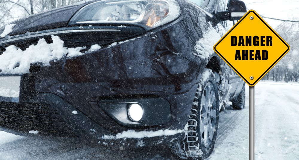

The Hudson Valley has just topped a new list...and not in a good way. Multiple Hudson Valley roads topping New York’s most dangerous list signals higher crash risks, strained infrastructure, and daily danger for commuters, families, and emergency responders across the region.
According to iSelect, a leading insurance comparison website, New York recorded 5,079 crashes over the last five years, several hundred of those occurring roads in or that run through The Hudson Valley.
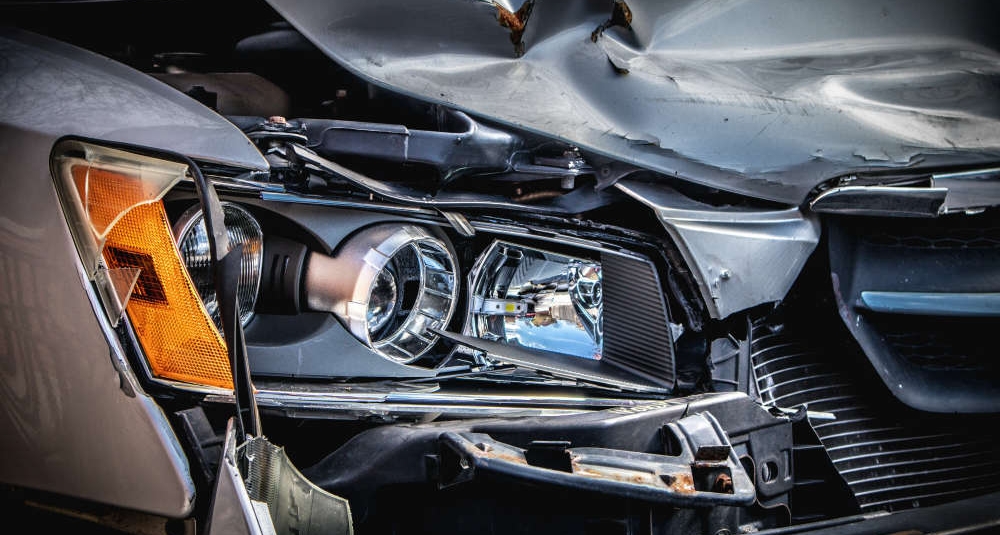
Broader analysis reportedly showed that 42% of all fatal crashes nationwide actually happened on state highways, not interstates.
(Clark Van der Beken; Unsplash)
To analyze New York, iSelect reportedly tapped into Fatal Crash Data from the Fatality Analysis Reporting System (FARS), and several criteria, including weather conditions, road infrastructure, and the overall number of crashes, were considered.
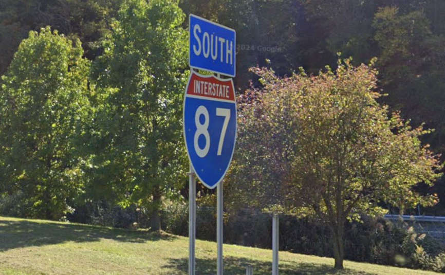
Coming in at #1 on the list of New York's most dangerous roads, according to iselect.com, is I-87 (New York Thruway). It begins at the Bronx-Westchester county line and runs north through The Hudson Valley, Albany, and into the Adirondacks.
(Google Maps)
In at #2 is US-9. The south-to-north roadway enters the Hudson Valley area in Peekskill, continuing through Garrison, Fishkill, and Wappingers Falls before passing through the city of Poughkeepsie Hyde Park, Rhinebeck, and Red Hook on the east side of The Hudson River. It then continues through Columbia County and into the state capitol of Albany.
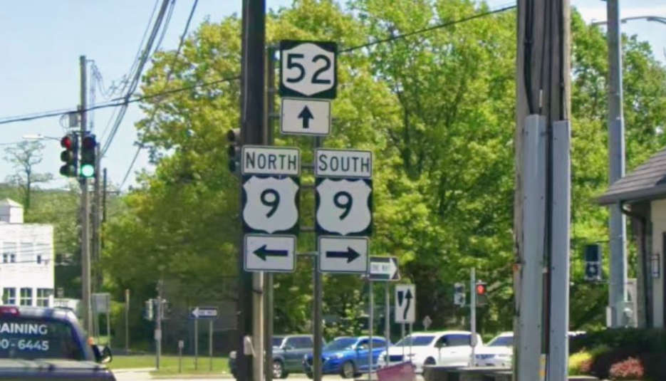
(Google Maps)
US-9W also ranked inside the Top 10 coming in at #6. 9W functions as a western, scenic alternative to Route 9 starting in Fort Lee, NJ and running north along the west side of The Hudson River connecting towns in Rockland, Orange, Ulster, and Greene counties.
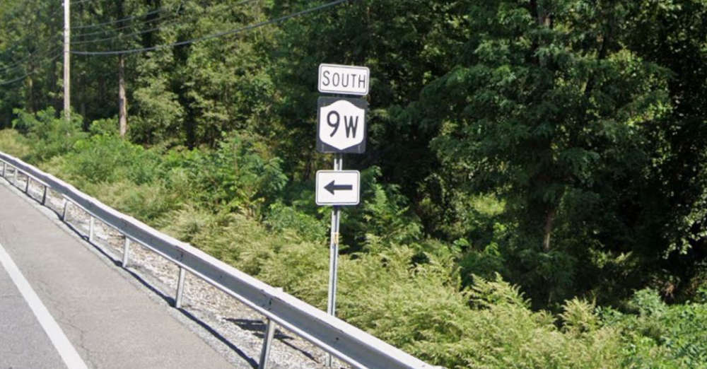
(Google Maps)
Perhaps we'll all heed this warning and take it a little easier when travelling these roads. Be safe out there!